Back to top
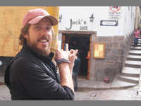
Today started with a delicious breakfast at Jack's and then got a bit shaky with a day of GPS mishaps. The background is that I installed some free maps for both Central and South America from an on-line source. When leaving Cuzco I plugged in the destination city of Puno and the GPS went ahead and calculated the route. Leaving big cities is always a bit of a pain but soon we were on the road and heading...North? I plugged in the city again and it calculated the route we were on so we stuck with it as the GPS took us through the sacred valley before finally heading south again (about a 100km and 2.5 hour detour).
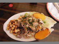
The road south took us through more of the *Altiplano* and kept us above 12,000ft for most of the day. As we approached our destination of Lake Titicaca and the city of Puno we were running out of daylight due to the detour. This is when the downloaded maps stopped working on the GPS, which meant we entered Puno without any maps of the city and after sunset. We drove around in circles for a while before finally finding a hotel with parking. After we did a quick search around the neighborhood for some dinner and tried the first place we found. I ordered the chicken and Melissa ordered the beef and a few hours later Melissa was starting to get chills and not feeling well.
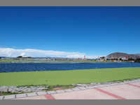
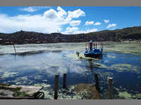
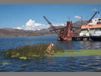
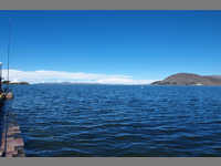
We decided to stay an extra day so Melissa could rest. I did a bit of walking around the city and took some picture of the lake (the largest high-altitude lake in the world) and tried some local ceviche!
I should also note that hanging out above 10,000ft has been difficult. Just walking around gets you out of breath and it's a bit difficult to sleep, but we should be acclimated by the time we get into Bolivia.
After Puno we'll cross the Peru border to Bolivia, country #12.